Learn ArcGIS Pro first if your immediate work involves preparing geographic datasets, detailed editing, or desktop analysis. Start with ArcGIS Online if your first responsibility is creating web maps and sharing information with colleagues. If you are completely new to GIS, learn layers, attributes, coordinates, and data quality alongside either route.
This is a practical learning recommendation, not a requirement to master one product before using the other. Choose the starting point that helps you complete your next real task.
What is the difference?
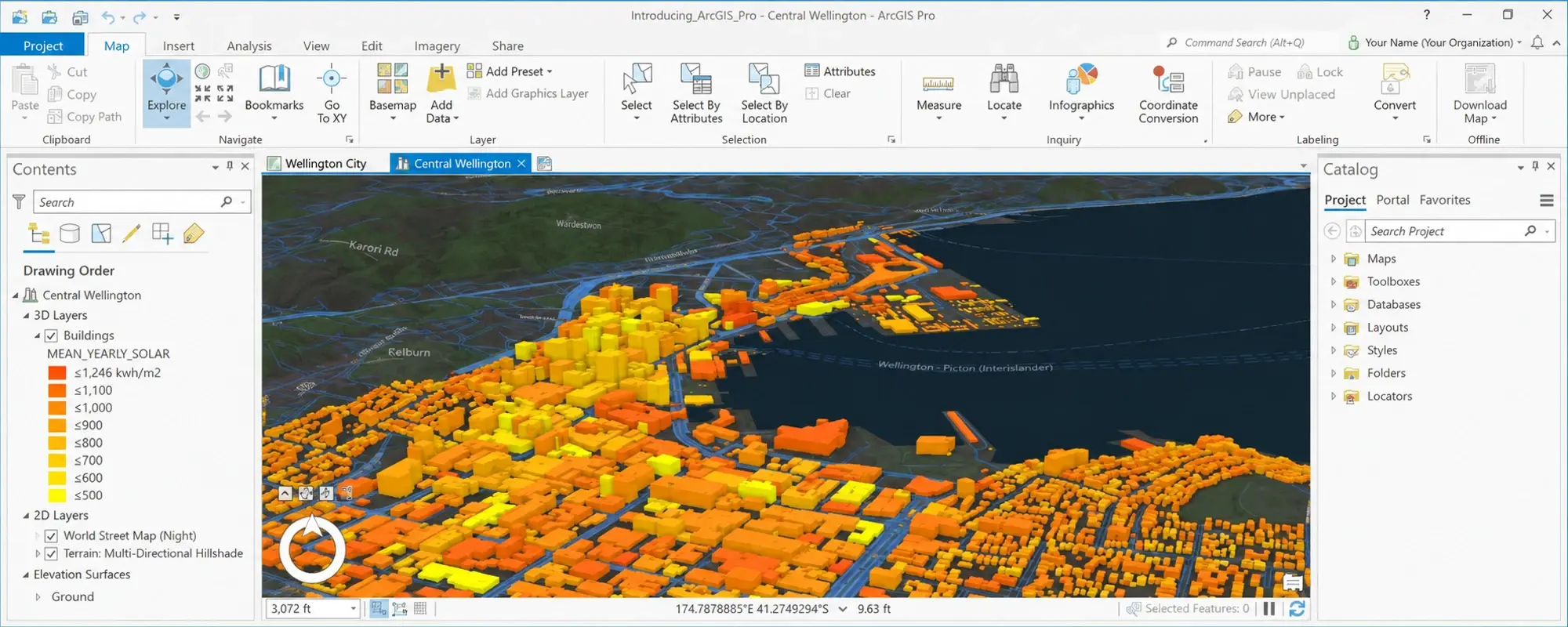
ArcGIS Pro is a desktop GIS application for mapping, data management, and spatial analysis. ArcGIS Online is a collaborative web GIS for working with maps, layers, apps, and analysis through an online environment. They can be used together; the distinction is not that one makes maps and the other only displays them. ArcGIS Pro overview · ArcGIS Online FAQ.
Use the table below to choose a first exercise. These are suggested learning priorities, not exclusive capability boundaries.
| Your immediate task | Suggested starting point | First exercise |
|---|---|---|
| Prepare and inspect local GIS datasets | ArcGIS Pro | Check a facility dataset and document its issues |
| Build a map colleagues can open in a browser | ArcGIS Online | Configure a web map and test access with an intended viewer |
| Produce a detailed analysis and a presentation map | ArcGIS Pro | Compare a result with the input records and prepare a layout |
| Maintain shared web content | ArcGIS Online | Review layer settings, pop-ups, ownership, and sharing |
| Prepare data and distribute it to a team | Both, in workflow order | Prepare a small dataset, then share and review the web output |
What should a beginner learn before choosing a course?
You should be able to explain the difference between a feature and its attributes, describe where a dataset came from, and identify the question a map is meant to answer. You do not need to memorise every tool.
Try this short exercise: describe a table of community facilities without opening any software. Which column identifies each facility? Which fields describe its location? Which values are missing? What would make a record unsuitable for your map? This exposes learning needs that a product demonstration can easily hide.
How could a Jordan-based team use both?
Consider a hypothetical team preparing a map of public facilities. An analyst needs to inspect locations and compare facilities across study areas. A coordinator needs to share a clear view with colleagues who do not edit the source data.
For training, give those roles different deliverables. The analyst prepares a checked dataset and records the assumptions. The coordinator makes the information understandable to the intended audience and verifies access. Agree on facility identifiers, update responsibilities, and the meaning of each field before exchanging data.
ArcGIS Pro supports sharing web maps to ArcGIS Online or ArcGIS Enterprise. The publishing configuration and account privileges matter, so include that handover in the exercise rather than stopping at a screenshot. Esri’s web-map sharing guidance.
What should you check before enrolling?
Ask which application the exercises use, what previous GIS knowledge is expected, and how you will access the required software. Confirm the equipment, account permissions, and any additional capabilities needed for your own intended workflow. Do not assume a course name guarantees that every tool you want is included in your existing access.
Esri distinguishes foundational GIS learning from product workflow training. Match the prerequisites to what you can do independently today. Esri’s foundational course guidance.
Once you have chosen a starting product, explore Esri Academy learning plans for a structured learning path and the Learn ArcGIS tutorial gallery for practical exercises. Choose resources around the task you need to complete, and check their prerequisites and access requirements before you begin.
What is a useful next step?
Write one sentence: “After training, I want to produce ___ for ___.” Use a concrete output and audience, such as a checked asset dataset for an analyst or a web map for project coordinators.
For a desktop starting point, try our first ArcGIS Pro mapping project. If you are still comparing options, read how to choose GIS training in Jordan, then explore InfoGraph’s training catalogue or ask about a suitable learning path.