
GIS Products
Industry-leading GIS software and solutions from Esri and our partners
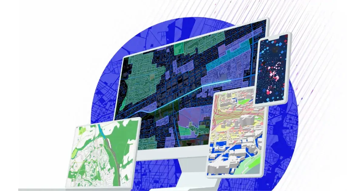
Esri Products
The complete ArcGIS platform for mapping, analytics, and location intelligence.
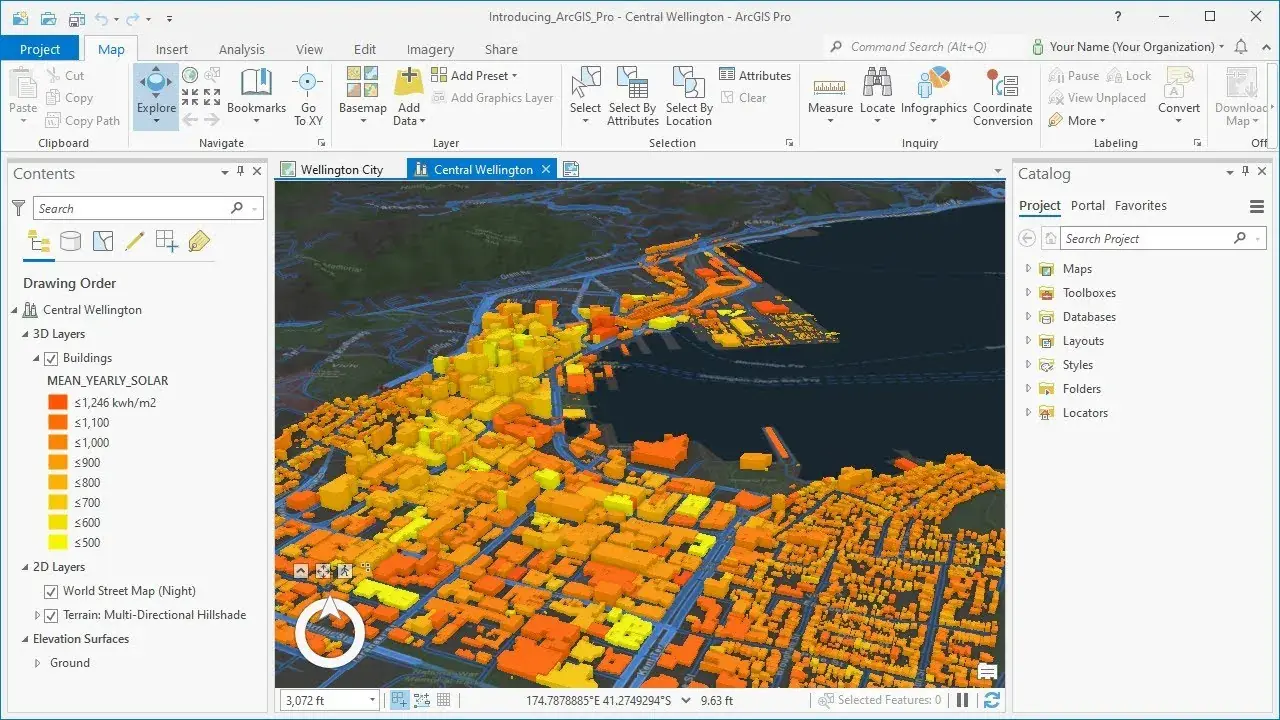
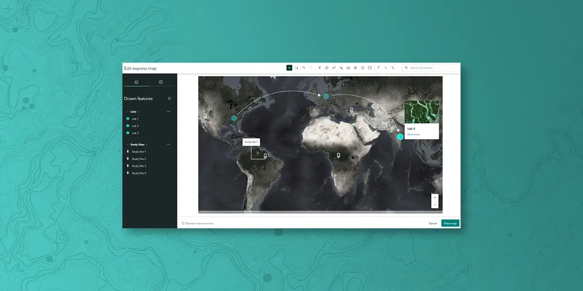
ArcGIS Pro
Professional 2D and 3D desktop GIS application for visualization, analysis, and data management.
- Advanced cartography
- Spatial analysis
- 3D visualization
- Machine learning

ArcGIS Enterprise
Complete GIS server software for managing, sharing, and analyzing geographic information.
- On-premises deployment
- Scalable architecture
- Role-based access
- Enterprise integration
ArcGIS Online
Cloud-based mapping and analysis platform for creating, sharing, and managing maps and apps.
- Cloud-hosted
- Ready-to-use apps
- Collaboration tools
- Living Atlas
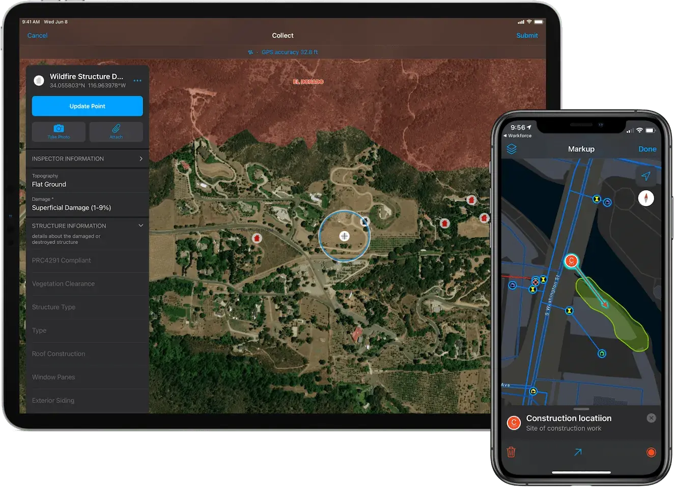
ArcGIS Field Maps
Mobile app for field data collection, map viewing, and markup with online/offline capabilities.
- Offline support
- GPS integration
- Form builder
- Real-time sync
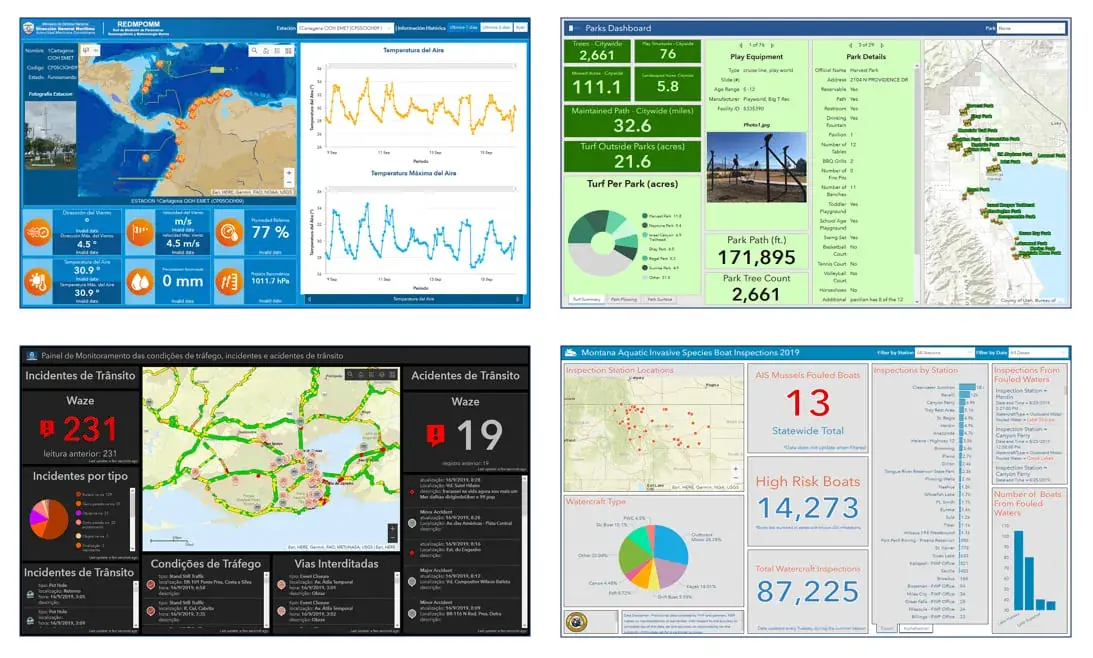
ArcGIS Dashboards
Real-time data visualization and monitoring through interactive dashboards.
- Real-time updates
- Custom widgets
- Embedded maps
- KPI tracking
ArcGIS Hub
Community engagement platform for sharing open data and creating initiatives.
- Open data portal
- Community sites
- Initiative tracking
- Citizen engagement
ArcGIS StoryMaps
Web-based storytelling application to share geographic narratives.
- Immersive stories
- Media integration
- Easy publishing
- Responsive design
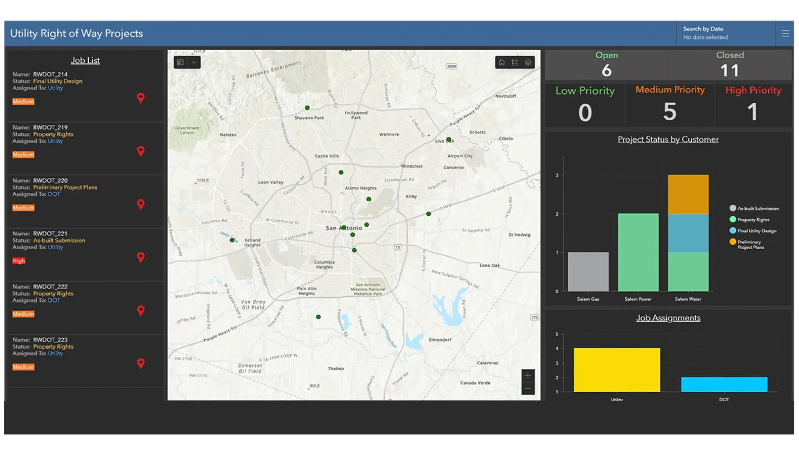
ArcGIS Workflow Manager
Work management solution for automating GIS and business workflows.
- Job tracking
- Workflow automation
- Quality control
- Resource management
Exclusive ESRI Distributor in Jordan Since 1992
We provide licensing, implementation, training, and support for the complete ArcGIS platform.
Partner Products
Complementary tools and technologies to extend your GIS capabilities.
Trimble Unity (Cityworks)
Exclusive Distributor - Middle East
GIS-centric asset maintenance management for utilities and municipalities.
3-GIS
Authorized Reseller - Jordan
Fiber network management and design solution integrated with ArcGIS.
ENVI (Exelis)
Partner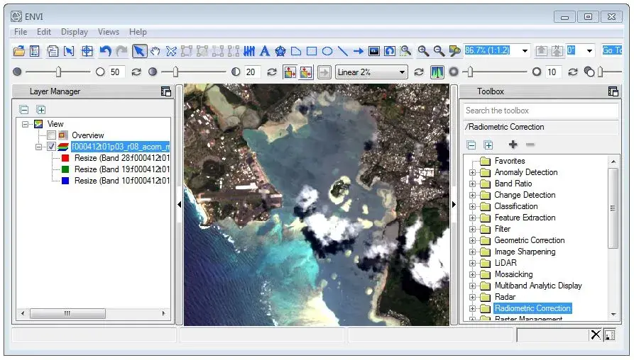
Remote sensing and image analysis software for extracting insights from imagery.
Need Help Choosing the Right Product?
Our experts can help you select and implement the right GIS technology for your organization's needs.