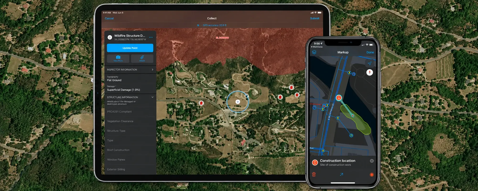
The right GIS training course should prepare you to complete a real task: create a useful map, check geographic data, analyse a service area, or share information with your team. Start with that task, then choose a course that matches your existing skills and the software you will use.
For learners in Jordan, it also helps to check the teaching language, delivery format, software access, and whether the exercises relate to your work. A university graduate learning GIS for the first time needs a different starting point from a utility engineer who already works with asset maps.
Here is a practical way to compare your options.
1. Match the course to your current experience
Before comparing prices or dates, identify your starting point.
| Your starting point | A suitable direction | What to check |
|---|---|---|
| You have never used GIS | An introductory GIS course | Does it explain geographic data, layers, attributes, and basic map interpretation? |
| You know GIS concepts but are new to ArcGIS Pro | ArcGIS Pro workflow training | Will you practise mapping, editing, analysis, and sharing? |
| You already use ArcMap | ArcGIS Pro migration training | Does it address moving existing work and adapting familiar workflows? |
| You can complete routine GIS tasks independently | A course focused on a specific skill | Do you meet its prerequisites, and will the exercises address a real gap? |
Esri makes a similar distinction in its foundational course guidance: introductory GIS training is for people without a GIS background, ArcGIS Pro: Essential Workflows assumes some GIS knowledge, and migration training serves experienced ArcMap users. See Esri’s foundational course guidance.
You can find these course titles in InfoGraph’s training catalogue. Check the detailed objectives and discuss prerequisites before selecting a class.
2. Define the work you want to do after training
“Learn GIS” is a useful ambition, but it is too broad for choosing a course. Write one sentence describing what you want to accomplish.
For example:
- A planning professional: “I want to combine land-use and administrative-boundary data and prepare a readable planning map.”
- A water utility employee: “I want to update asset locations, check missing attributes, and prepare information for inspection planning.”
- An environmental analyst: “I want to compare observations across locations and communicate the results clearly.”
- A team coordinator: “I want colleagues to access an up-to-date web map with appropriate sharing permissions.”
Use an illustrative goal like these to ask a provider which course fits and what you should learn first.
If your goal involves advanced analysis, ask which foundational skills are expected. A specialised course is more useful when you can already prepare and inspect the data it requires.
3. Look for exercises with a clear result
A course outline should explain what you will produce, as well as which tools you will see.
For introductory training, useful outputs might include a map with meaningful symbols, a corrected attribute table, or a short explanation of an analysis result. For more experienced learners, the output could be an edited dataset or a shared map that colleagues can use.
Ask the provider:
- How much time is available for individual practice?
- Will the instructor review exercises and explain mistakes?
- Do exercises include checking data quality and interpreting results?
- Will I complete a workflow from its starting data to a usable output?
A good practice task should make you explain a decision. For instance, why did you choose those map symbols, and what can a reader safely conclude from the map?
4. Check whether the training fits your working context
When comparing GIS training in Jordan, ask whether the course can support the kinds of data and outputs you handle. Depending on your role, that may include Arabic and English labels, local datasets, or coordinate-system questions.
Coordinate systems deserve particular attention. They provide the reference used to locate features, align datasets, and support spatially accurate analysis. Esri’s coordinate-system documentation explains their role.
For an illustrative exercise in Amman, a learner might compare facility locations with neighbourhood boundaries. Useful questions include: Where did each dataset come from? How current is it? Are the layers aligned correctly? What does the result leave out?
Local relevance comes from practising these decisions, not simply changing a map’s place names.
5. Confirm the practical arrangements before registering
Request clear answers to these questions:
- Language: What language will the instructor use, and what language are the materials in?
- Format: Is the class in person, live online, or self-paced?
- Software: Which applications, versions, licences, and extensions are required? What access is provided?
- Equipment: Do you need your own computer, and does it meet the course requirements?
- Schedule and cost: What are the confirmed dates, total fee, and included materials?
- Support: Can you ask questions after the course or revisit the exercises?
- Certificate: What document will you receive, and what does it demonstrate?
If professional certification matters to you, ask about it explicitly. Esri offers a separate ArcGIS Pro Foundation certification exam; do not assume a course completion certificate means you have earned that certification. Read the exam details.
6. For team training, agree on a shared outcome
For a municipal, utility, engineering, or other professional team, start by identifying one workflow that needs improvement.
For example, a team might want to maintain an asset layer consistently. Before discussing training, list who collects the information, who edits it, who checks it, and who uses the final map. Those roles may need different skills.
Agree on a practical way to assess progress, such as whether staff can complete the workflow independently and identify data errors before sharing an output. If you want to use organisational data in exercises, confirm permission to share it and ask whether the provider can accommodate it.
Before choosing a course, explore Esri Academy, try a project from Learn ArcGIS, or check the current Esri MOOCs. These resources can help you identify the skills you want to practise with an instructor. Check each resource’s account, software and enrollment requirements: free learning material does not necessarily include the software needed for an exercise.
Choose a starting point you can build on
Select the course that matches your current level and your next real task. Then plan time to practise after the class, using a small project you can complete and explain to someone else.
To explore the available options, browse InfoGraph’s GIS training catalogue. If you are unsure where to start, send a training enquiry with your current experience, the software you use, and the task you want to perform. For team training, include the number of participants and their roles.