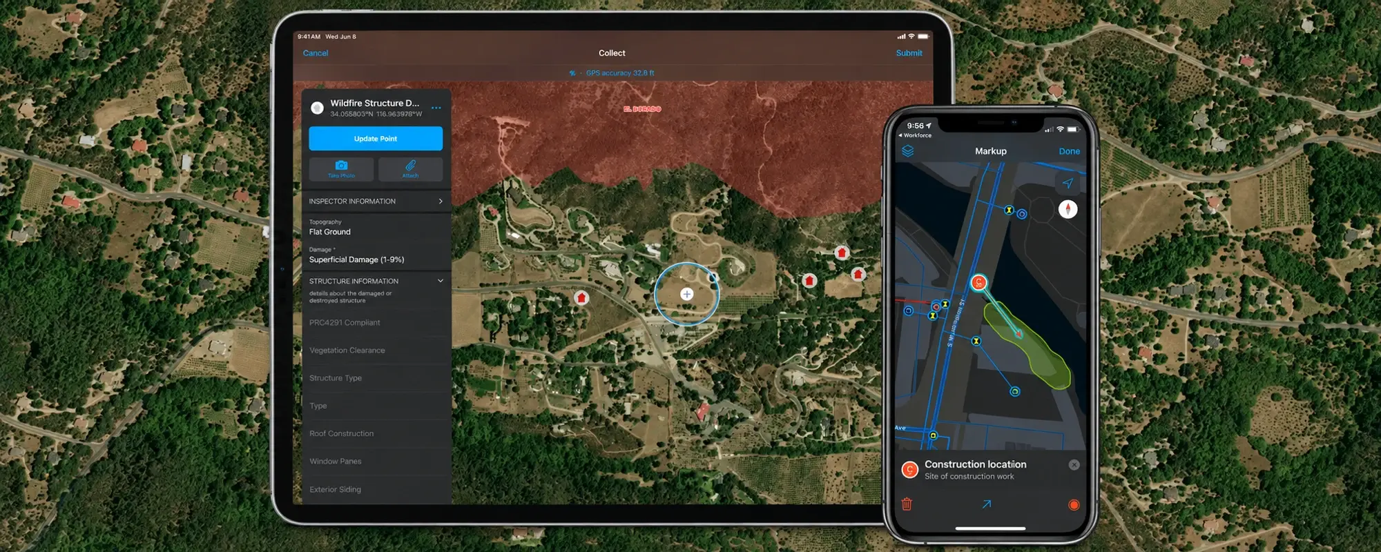
Start by testing Survey123 when an inspection is driven by a questionnaire. Start by testing Field Maps when staff need a map to find, select, and update geographic features. Both can support field data collection, so choose around the worker’s task and the records you need to maintain, not the number of features in a product demonstration.
For a municipal, utility, or engineering team in Jordan, a useful first question is: “Does the worker begin with a form to complete, or with an asset to locate?” Treat that as a starting point for a pilot, not an absolute rule.
When is Survey123 a useful starting point?
Survey123 is designed around forms, with capabilities such as conditional questions and support for multiple languages. This makes it worth testing when a visit follows a structured sequence of observations. Esri’s Survey123 introduction.
For example, a hypothetical building inspection might ask about the condition of an entrance, then ask for more detail only when a problem is reported. Agree on what each answer means before designing the form. “Poor condition” needs a shared definition if different inspectors will use it consistently.
For more controlled form design, Survey123’s XLSForm support includes required questions, constraints, and calculations. Test the specific questions and authoring tool you intend to use rather than assuming all interfaces behave identically. Esri’s XLSForm essentials.
When should you test Field Maps?
Field Maps is a useful candidate when the worker needs geographic context and must collect or edit mapped features. It also supports forms; the choice is not “maps versus any form at all.” Esri’s Field Maps FAQ.
Imagine a practice exercise in which a technician identifies an existing asset on a map before recording its condition. The pilot should check whether the technician can distinguish nearby assets and confirm the correct identifier. A fast form is not helpful if the observation is attached to the wrong asset.
Decide what one submitted record represents
Separate the asset from the visit. Does a submission update the asset’s current condition, or create a new inspection record linked to that asset? If inspection history matters, design for it before collecting production data.
Write a sample asset identifier, inspection date, inspector role, and result on paper. Then ask how a supervisor would find three visits to the same asset. This small exercise often clarifies the data model before the app choice does.
What should you test without connectivity?
Field Maps supports offline workflows with prepared maps, and Survey123 supports offline collection through its mobile applications. Download and prepare the required content before leaving connectivity; verify the actual app version, map, form, and device your team will use. Field Maps download guidance · Survey123 collection options.
Use a short acceptance test: open the prepared content offline, find the intended asset, record a result and any required attachment, reconnect, and check the submitted record from the office. Include an interrupted submission so staff know how to confirm whether work reached the shared dataset.
Could the two apps work together?
A combined workflow may be worth testing when staff select an asset on a map and then complete a detailed survey. Esri documents links that launch Survey123 and pass field values from other applications. That handover still needs a deliberate design for identifiers and records. Survey123 launch parameters.
How should you train the team?
Run a small pilot with realistic Arabic labels, representative inspection cases, and the devices staff will carry. Review wrong-asset selections, missing answers, duplicate submissions, and whether a supervisor can interpret the result. Confirm account access and permissions before the session.
Train form authors, field workers, and reviewers for their respective tasks. If the shared-map side is unfamiliar, read our ArcGIS Pro and ArcGIS Online learning comparison. Then explore InfoGraph’s training options or describe your inspection workflow to our team to discuss the skills you need.