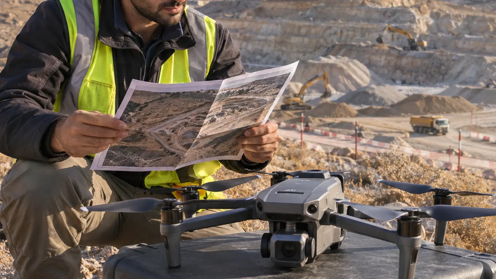
Choose the output around the question: an orthomosaic for a plan-view image, an elevation model for height-related analysis, and a textured mesh for understanding visible 3D form. A project may need more than one, but “deliver a 3D model” is too vague to be an acceptance criterion.
ArcGIS Drone2Map processes captured drone photographs into 2D and 3D products. It is a desktop processing application; flight planning and image collection are separate parts of the job. This guide helps scope the deliverables before processing begins. It is not a flight procedure or a report of a tested survey.
Start with the decision, not the file format
Imagine a contractor commissioning imagery of a small construction site. The project manager wants to review progress, the earthworks team wants to assess changes in surface levels, and stakeholders want to understand how the site looks. Those are three different requests.
| Intended decision | Candidate deliverable | Acceptance question |
|---|---|---|
| Identify where visible work has progressed | Orthomosaic, a geometrically corrected plan-view image mosaic | Can the reviewer locate the relevant areas, and is the capture date clear? |
| Compare surface heights between surveys | Appropriate elevation surface and supporting quality information | Are both surveys using compatible units, reference systems and surface definitions? |
| Explain visible building and site form | Textured 3D mesh | Are the important façades and structures sufficiently represented for the intended review? |
The table is an editorial scoping aid, not a statement that every output is included in every entitlement. Confirm the available products in the selected Drone2Map version and license before promising delivery.
A height model needs a surface definition
A digital surface model includes the visible surface, which can include roofs and vegetation. A terrain model aims to represent the ground. Do not replace one with the other simply because both contain elevation values. Esri describes the available outputs in its Drone2Map product documentation.
For our hypothetical site, a temporary material stack appears in the second survey. The reviewer must decide whether it belongs in the comparison. If the question concerns the current visible surface, it may be relevant. If the question concerns finished ground levels, the stack can obscure what the team actually needs to assess. Record that limitation instead of treating every changed elevation as completed earthworks.
A visually sharp mosaic also says little by itself about positional accuracy. Before measurement work, agree the required accuracy, reference system and independent verification method with the responsible survey professional. A textured mesh is not an accuracy certificate.
A completed deliverable brief
Use this example as a starting point, replacing its assumptions with the actual project requirements.
| Brief field | Example entry |
|---|---|
| Decision owner | Project manager reviewing visible site progress |
| Primary output | Dated orthomosaic covering the agreed site boundary |
| Additional request | Elevation comparison only after the survey reviewer accepts reference systems and quality evidence |
| 3D requirement | Mesh for stakeholder orientation, not contractual measurement |
| Known limitation | Covered ground beneath the temporary stockpile cannot be assessed as exposed terrain |
| Handover | Output files, capture date, coordinate/vertical references, processing notes, quality report and unresolved limitations |
| Recipient check | Receiving team opens the agreed deliverables and confirms coverage and intended use |
This avoids a common contractual ambiguity: requesting “all the outputs” without identifying who will use them or what makes them acceptable. Extra files can add storage and review work without answering an extra question.
Check the receiving workflow before processing
Ask whether the recipient needs local files, a shared web map or a 3D scene, and who will maintain access. Confirm sharing permissions and hosting requirements separately from image processing. Keep originals, delivered versions and capture dates traceable so an older map cannot silently become the basis for a later decision.
A useful enquiry to InfoGraph includes the site extent, intended decision, existing imagery, required accuracy review, recipients and preferred handover. Discuss your mapping requirements or explore GIS services. If your team needs to interpret and manage the outputs, review training options and choose the right starting point in ArcGIS Pro or ArcGIS Online.