Judge a drone map against its intended use and independent checks, not image sharpness or a small processing residual.
The report looks good. What does that establish?
A contractor receives a crisp orthomosaic and a report showing small residuals at the points used to position the model. The proposed next step is to use it for a measurement task. The missing question is whether the evidence supports that particular use across the area of interest.
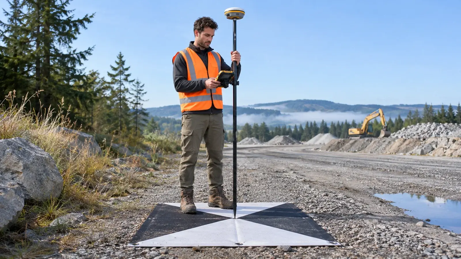
Esri distinguishes ground control used to position a model from checkpoints used to assess its accuracy in the Drone2Map control documentation. Read how the selected processing workflow uses each point; simply naming a point “independent” does not establish independence from adjustment.
Review three different kinds of evidence
The following is a hypothetical acceptance review, not a measured survey or a universal tolerance.
| Submitted item | What the reviewer can establish | What remains open |
|---|---|---|
| Sharp orthomosaic | Features of interest are visible | Whether their positions meet the agreed requirement |
| Control residuals | Fit at the control observations in the adjustment | Performance away from those observations |
| Check observations in one corner | Evidence about that checked area | Whether the untested far side behaves similarly |
| Coordinate reference noted, vertical reference absent | Horizontal reference is identified | How to interpret delivered heights |
The reviewer accepts the image for a dated visual progress discussion but holds the proposed height comparison until its reference and verification evidence are supplied. That is a scoped acceptance, not an assertion that the whole dataset is either good or bad.
Write a better acceptance request
Ask the survey provider to identify the intended output, measurement requirement, reference systems, control/check roles, spatial distribution of checks and any exclusions. Request an explanation of the verification method and its limits, alongside the processing report.
A useful response explains where the evidence is strong and where it is absent. A single summary statistic can conceal an untested slope, shadowed surface or edge of coverage. The responsible survey professional should decide the appropriate design and tolerances; a generic number copied from another project is not a specification.
The decision to record
Write: “Accepted for visual progress review on the capture date; measurement use pending vertical-reference confirmation and the agreed verification.” Keep this decision with the files, so a later recipient does not inherit a broader permission than the evidence supports. Recheck it when the intended use changes.
For related preparation, read choosing Drone2Map outputs. Discuss this workflow with InfoGraph or review relevant GIS training.