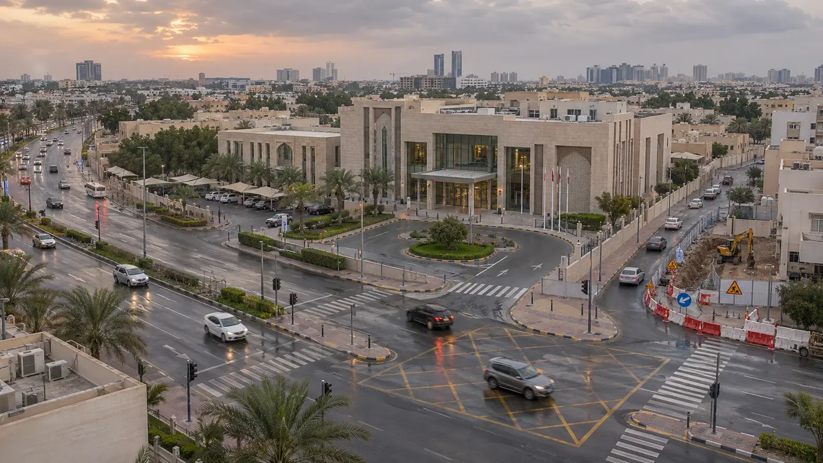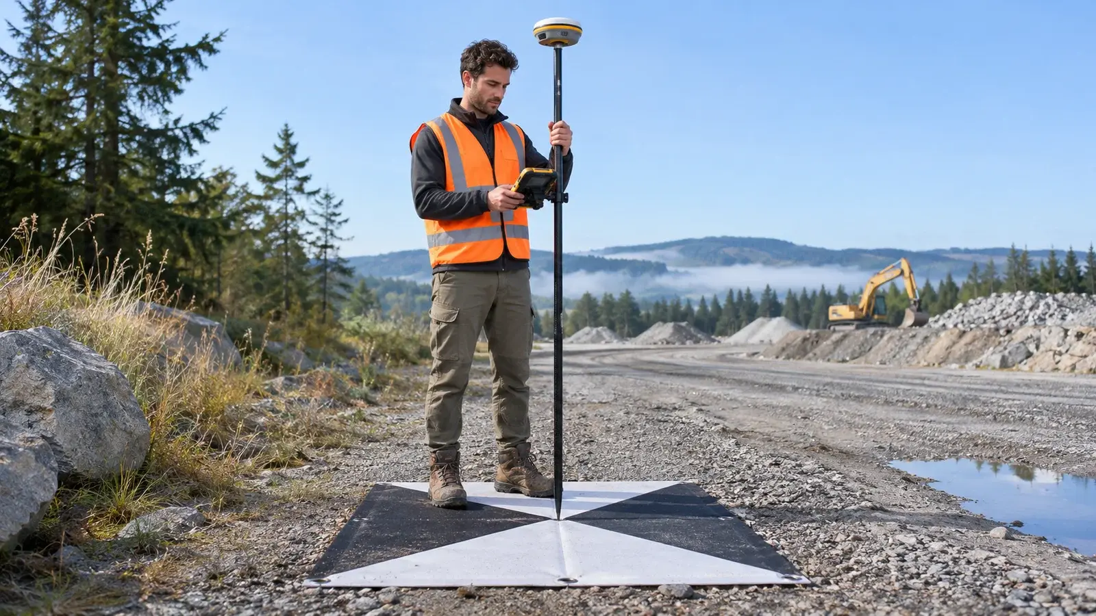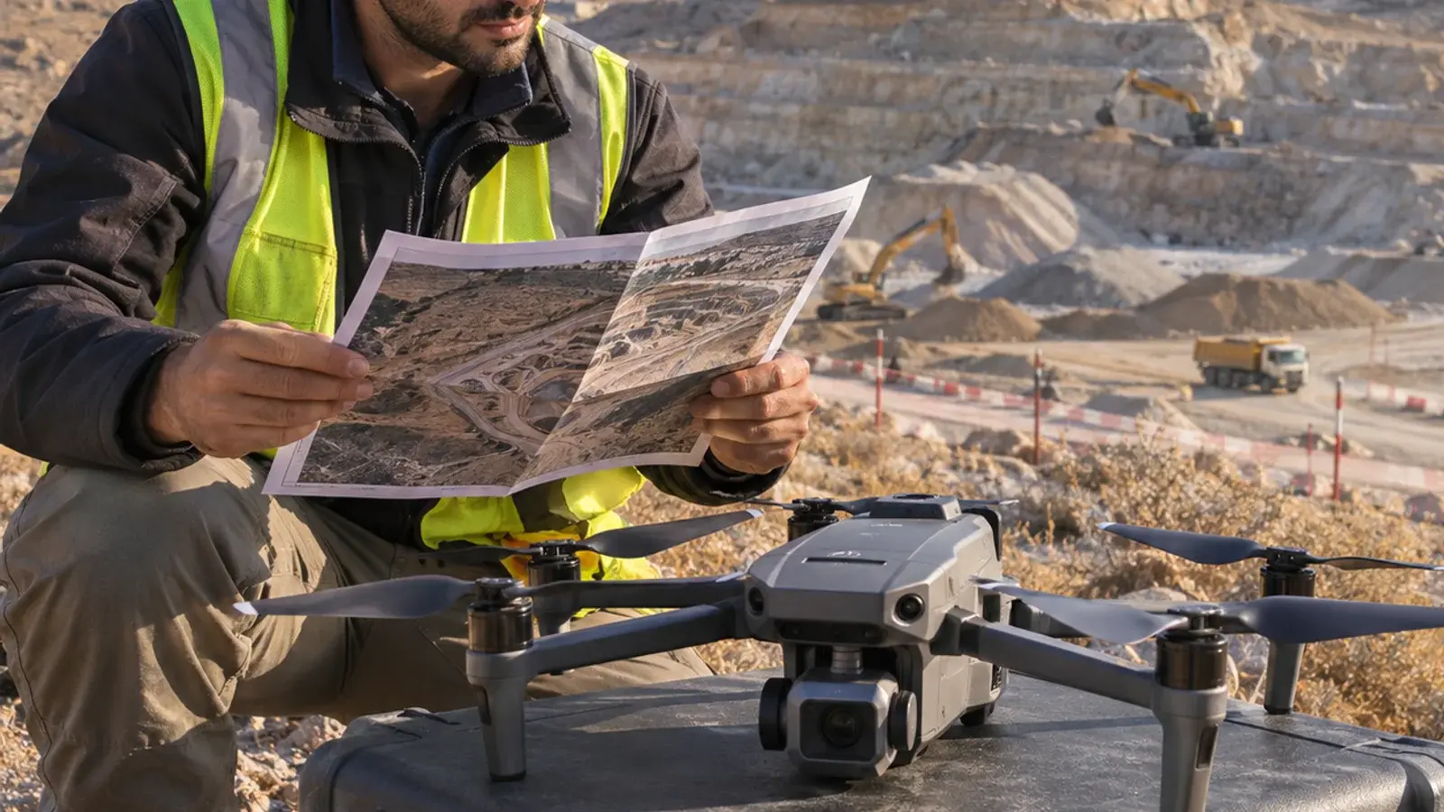
ArcGIS Reality and ArcGIS Urban address different project questions. Separate existing-condition capture from planning scenarios before selecting tools.
Two requests that sound alike
“Show the district in 3D” could mean documenting the current buildings. It could also mean exploring a proposed development. Using the same phrase for both hides a crucial distinction: observed conditions and proposed conditions need different evidence.
ArcGIS Reality is a photogrammetry product family for generating representations from imagery. ArcGIS Urban supports planning scenarios, including zoning and development analysis. They can contribute to a wider GIS workflow, but one is not a simple substitute for the other.
Brief A: document what exists
A hypothetical project team needs current context around a redevelopment parcel. Its brief specifies the capture date, coverage, required outputs and acceptance evidence. The deliverable is a representation of observed conditions with limitations recorded. A façade obscured in the imagery remains a limitation, however persuasive the overall model looks.
Brief B: evaluate a change
The same team wants to compare two development proposals. Its brief needs assumptions: the proposal version, planning rules, input data and metrics being compared. A proposed building must remain identifiable as a proposal. Replacing existing geometry without preserving that distinction would make the scene harder to interpret.
| Review question | Capture brief | Planning brief |
|---|---|---|
| What does this represent? | Existing conditions at a stated time | A named alternative under stated assumptions |
| What is the acceptance evidence? | Coverage and agreed quality checks | Reproducible scenario inputs and correctly interpreted outputs |
| What makes it stale? | Physical change after capture | A revised proposal, rule or assumption |
| Who approves interpretation? | Capture/data reviewer | Responsible planning reviewer |
Where the two briefs meet
Suppose a new access road appears after the imagery date. The capture brief needs a currency review. If the road changes a proposal's assumptions, the planning comparison also needs revision. Updating the visual layer alone does not prove the scenario has been recalculated correctly.
Record the baseline version used by each alternative. In a review meeting, ask participants to distinguish observed features, proposed features and unknown information without relying solely on color. That is a useful acceptance exercise before commissioning a larger model.
A procurement question worth asking
Instead of requesting “the best 3D software,” send the two briefs and ask which data, products and responsibilities serve each. Confirm current capabilities and licensing against the actual deployment. The benefit is a clearer scope and fewer mismatched deliverables, not an automatic guarantee of planning approval.
For related preparation, read scoping a useful digital twin. Discuss this workflow with InfoGraph or review relevant GIS training.