Choose an Esri MOOC around one task you want to understand, then check its dates, computer requirements and software access before committing your study time. A useful preparation plan ends with a small result you can explain—not just a list of videos you intend to watch.
Esri's MOOCs are free, scheduled online courses. The current course listing is the place to check which topics and dates are available. If you are still choosing between formats, start with our Esri Academy, Learn ArcGIS and MOOC comparison.
Choose a question before choosing a course
Write the question your practice should answer. “Which facilities are accessible from this neighborhood?” is more useful than “learn spatial analysis.” It gives you a way to judge whether the exercises fit your needs.
Read a course's objectives and identify one output that would help you answer your question. If the objectives address a different task, choose another resource or adjust your goal. An interesting title alone does not establish a good fit.
For example, an analyst who needs to explain service coverage should look for exercises about spatial relationships and interpreting results. A colleague preparing a public presentation may need map design and communication first. Neither should choose a course solely because it is the next one starting.
Separate three checks: enrollment, equipment and exercise access
The Esri MOOC FAQ explains that registration uses an ArcGIS account, that software access is provided for the course period, and that hardware requirements vary by course. Follow the selected course's instructions rather than assuming another course's setup applies.
A successful registration does not prove that your work computer can run the exercises. Before the start, identify who can install required software and who can resolve account questions. Keep passwords out of shared preparation worksheets.
Use our free Esri learning and access worksheet for the broader distinction between learning materials, software, permissions and credits.
A worked readiness checklist
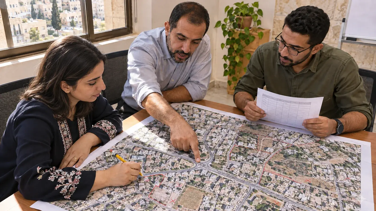
Consider a hypothetical learner in Amman who wants to understand service-access analysis. On 9 November 2026, the official listing showed Going Places with Spatial Analysis opening on 27 January 2027, with registration closing on 10 February 2027. These are a dated example, not a promise that enrollment remains available when you read this. Recheck the live listing.
| Check | Example learner's entry | Next action |
|---|---|---|
| Goal | Explain one service-access result and its limitations | Match that outcome to the course objectives |
| Dates | Opening and registration dates recorded from the listing | Check the course closing date separately; do not confuse it with registration closing |
| Equipment | Employer-managed computer; installation permission unknown | Ask IT about the selected course's software requirements before the start |
| Account | Registration account identified | Follow course instructions for exercise access when available |
| Time | Two recurring practice blocks proposed each week | Adjust the blocks to actual workload and course guidance |
| Evidence | A map, input-data note and explanation of one limitation | Check what work may be retained under the course and data terms |
The checklist is deliberately not all green. An unresolved installation requirement is a task with an owner, not a reason to pretend the learner is ready. If IT cannot provide a suitable environment in time, change the preparation plan rather than assuming the exercises will work in a browser.
For participants in different countries, put the time zone beside every deadline. A date copied without its stated time zone can create avoidable confusion.
Keep a practice log that reveals gaps
After an exercise, record four things. The entries below are illustrative, not results from an Esri course or a client project.
| Record | Completed example |
|---|---|
| Question | Which facilities appear close to the practice neighborhood? |
| Decision | Kept only records with a usable location and recorded excluded rows |
| Check | Compared the number of mapped facilities with the input table |
| Limitation and next step | Straight-line proximity does not establish a usable walking route; investigate the appropriate network method |
This log makes a distinction that a screenshot cannot: the map may look finished while the reasoning is incomplete. If you can repeat clicks but cannot explain a choice, record the exact gap before moving on.
Plan what happens after the course
Do not build a work process around temporary course access. Before it ends, review the rules for retaining your own notes and outputs, and identify the authorized software and data you would need for further practice. Never assume that a course dataset can be republished in a portfolio.
Try a small independent task with permitted data after the guided exercise. Keep the scope narrow enough to check: one map, one audience and one limitation. Our first ArcGIS Pro mapping project is another starting point when the desktop workflow fits your goal.
If you need help applying the concepts to your work, explore InfoGraph's training catalogue or send a training enquiry. Include your goal, current experience and the particular step you cannot yet explain. InfoGraph offers training in Jordan and online for learners across the region; confirm the relevant course and delivery arrangements.