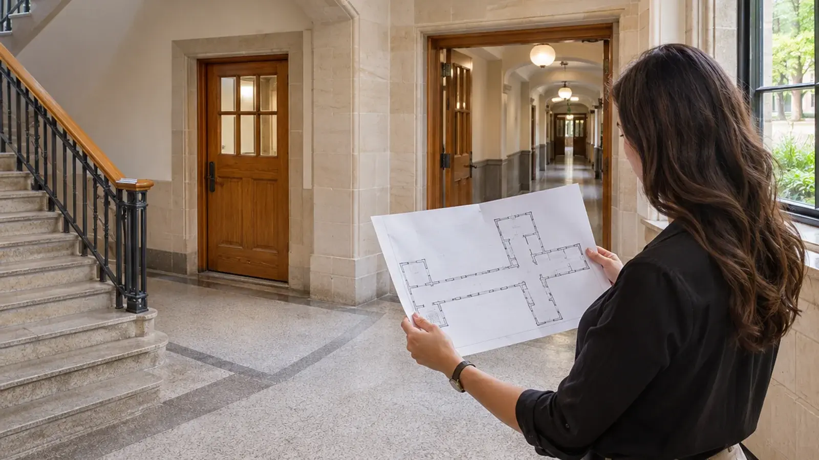
Floor plans are ready for an indoor GIS when the spaces can be identified consistently, placed on the correct floor and building, and maintained after the first import. Having a CAD file is a starting point, not proof that those conditions are met.
ArcGIS Indoors supports floor-aware maps for locating spaces and assets and helping people navigate facilities. The preparation challenge is often less about drawing more detail than establishing which drawing and room record can be trusted.
Start with a question a building user actually asks
Consider a hypothetical university with two buildings. Both contain a room labeled “101.” A visitor needs the room in Building B, but a maintenance spreadsheet stores only “101.” Neither the floor-plan image nor the spreadsheet alone resolves which room the record describes.
Keep a stable identifier separate from the name shown on the door. For this example, the team chooses B-L01-R101 as an internal key and keeps “101” as the display label. This is an illustrative naming convention, not a required Esri format. If a room is renamed, the team must decide whether its identity has changed or just its label.
Review a representative floor before the whole estate
Esri's CAD preparation guidance describes georeferencing, consistent source layers, room information and geometry preparation. Use it with the documentation for the import workflow you actually select. A CAD workflow and a BIM workflow should not be assumed to have identical inputs.
For our campus example, the initial review produces this register:
| Check | Finding | Decision before import |
|---|---|---|
| Building and level identity | “First floor” is used inconsistently in two files | Facilities owner confirms a shared floor register |
| Room identity | Two buildings use room number 101 | Retain display labels; assign distinct stable keys |
| Drawing revision | One floor plan predates a partition change | Obtain the accepted revision and record its date |
| Map location | Floor outline is correctly shaped but displaced from the building | GIS reviewer resolves position and scale against approved reference data |
| Source organization | Walls and room labels are mixed across inconsistent layers | CAD owner maps the required content to a consistent source structure |
| Record ownership | Nobody owns future room changes | Assign a facilities approver and a GIS update owner |
The point is not to mark every row green. It is to turn each unresolved issue into a decision with an owner. Importing the entire estate first would multiply the same ambiguity across more floors.
Test the handoff, not just the drawing
Ask someone who did not prepare the data to locate three spaces: a normal room, a room with a repeated label in another building, and a recently changed space. Give them the intended search terms and the records a real user would have.
In the campus scenario, the first two spaces resolve correctly, but the changed room still points to an old maintenance record. The drawing may be current while the linked business record is not. The next action is to reconcile the room identity and reference, not to redraw the entire floor.
For bilingual facilities, agree Arabic and English display labels while keeping a shared key. Do not create separate identities merely because a room has two names. Record which label is authoritative and who approves corrections.
Separate floor maps from live indoor positioning
A map that identifies the correct floor and room does not automatically show a visitor's live position. Esri describes ArcGIS IPS as an additional indoor-positioning capability that can work with Indoors. Confirm the navigation and positioning requirement separately; do not promise a moving location marker simply because the floor plans have been imported. Indoors capabilities.
Define a small acceptance exercise
For a first phase, propose one representative building and a floor that includes repeated room labels or a recent alteration. Agree who accepts location, identity, search results and update responsibility. The useful deliverable is a maintainable indoor record, not merely an attractive screenshot.
Send InfoGraph a sample drawing, revision date, building/floor list, intended users and the task they must complete. Discuss an indoor mapping assessment or explore our GIS services. For the people maintaining the records, review training options and plan role-based practice.