An offline field workflow is complete only when staff can use the prepared map and the office can verify the returned edits.
Before departure: prove the map works without coverage
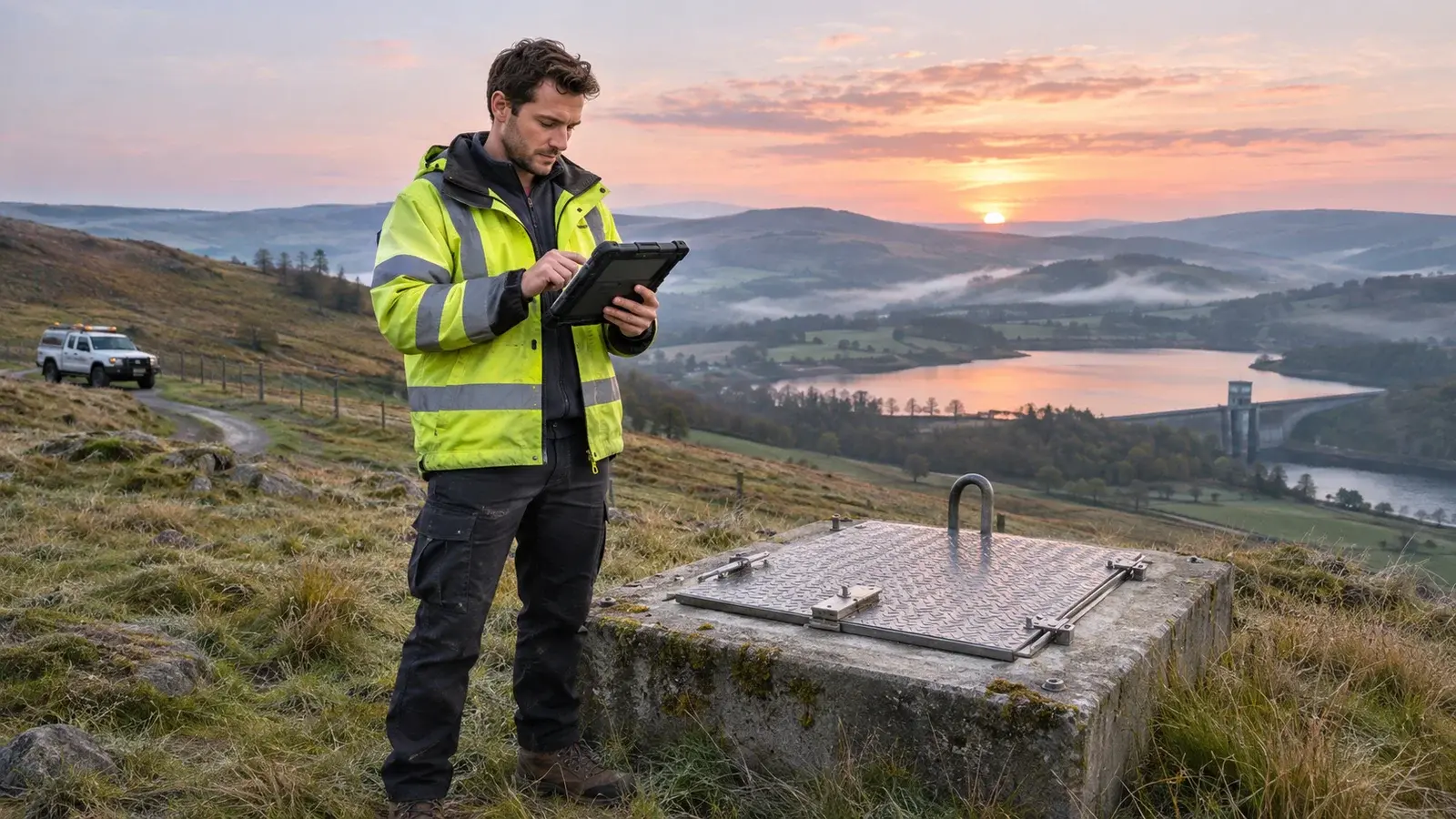
Imagine a crew visiting remote water assets. The map opens in the office, so everyone assumes it is ready. That only proves the connected experience works. The acceptance exercise should use the intended device, account, map area and offline conditions.
Esri's Field Maps preparation guidance distinguishes preparing for offline work from using a connected map. Follow the current instructions for the actual app and operating system. The sequence below is a proposed team exercise, not a device test performed for this article.
| Moment | Demonstration to request | Evidence to keep |
|---|---|---|
| Before departure | Open the intended area offline and inspect a representative asset | Device/app version, map-area identity and preparation date |
| During practice | Save one identifiable test observation and any required attachment | Test identifier and expected values |
| After reconnection | Complete synchronization and inspect the destination record | Office confirmation of fields and attachment |
| Before cleanup | Account for every pending test edit | Named reviewer and resolved exceptions |
At the site: distinguish saved from delivered
In the scenario, the technician records a valve observation and a photograph. Seeing it on the device confirms local work, not office receipt. Keep the asset identifier and observation meaning consistent with the office workflow. An invented placeholder for an unknown value is harder to correct than an explicitly recorded uncertainty.
Agree what the crew should do if the needed area or form is unavailable. Repeatedly retrying an unrelated map is not a recovery plan. The team needs a support contact and a way to preserve what has already been collected.
Back online: verify the handoff
The connection drops during return. The office sees the test observation but cannot confirm the photograph. Treat the handoff as unresolved until the expected record and attachment have been checked. Do not infer completeness from a map symbol alone.
Esri documents synchronization and recovery references. Use those instructions for the device in question. Avoid deleting an offline area or reinstalling the application while unresolved edits may still be on it.
Close the exercise with an exception log
For this practice case, the log reads: “Observation received; attachment not yet confirmed; device retained; field lead and office reviewer assigned.” Once resolved, record how the office verified the result. That small discipline makes the boundary between field collection and office acceptance visible, which is more useful than another generic claim that the system works offline.
For related preparation, read role-based team preparation. Discuss this workflow with InfoGraph or review relevant GIS training.