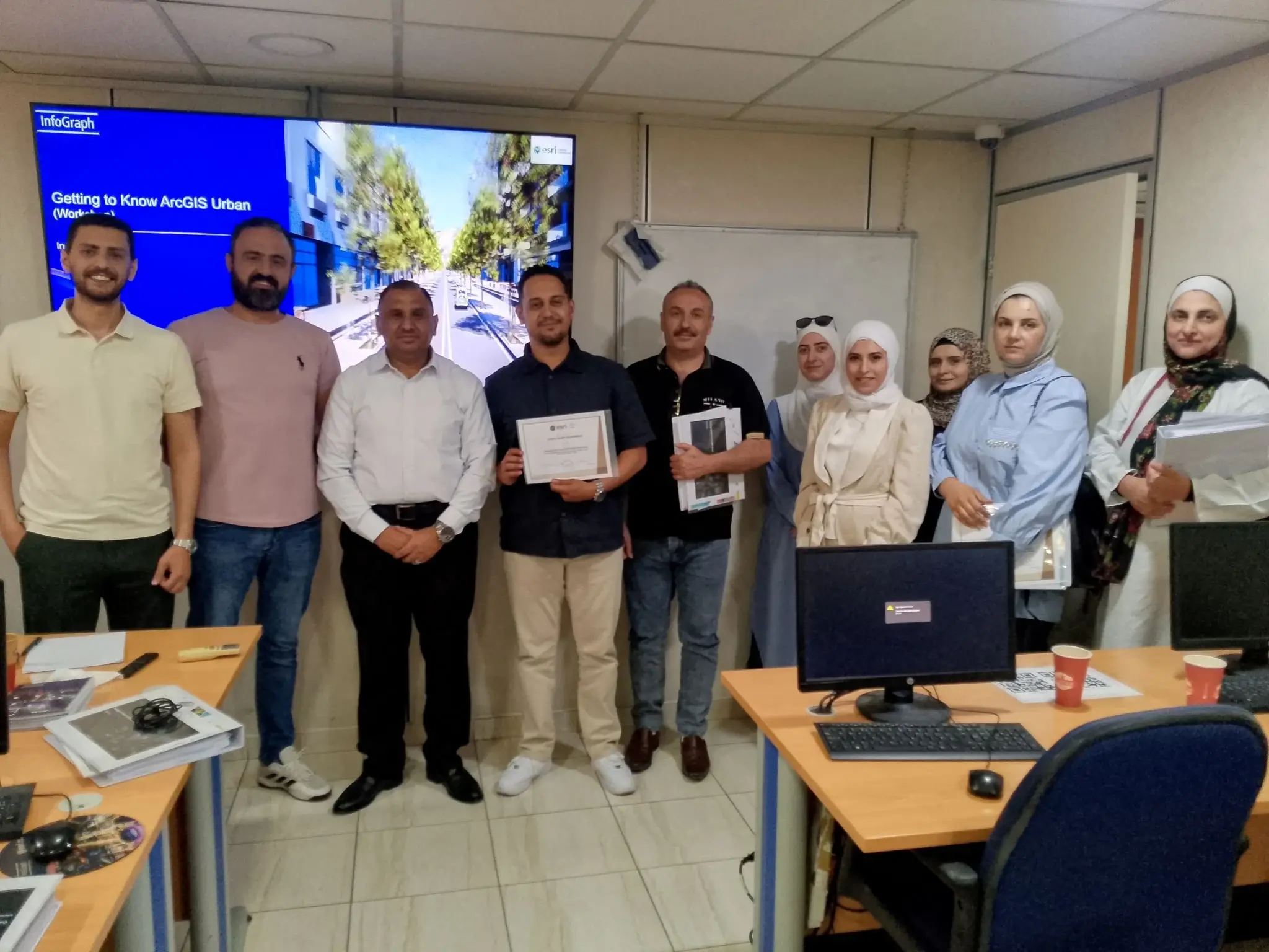
Greater Amman Municipality continues to invest in smarter, more integrated planning workflows for Jordan's capital. As part of this direction, InfoGraph successfully concluded a focused series of introductory workshops on Esri ArcGIS Urban, bringing together engineers and specialists from urban planning, master planning, licensing, and GIS departments.
The workshops were designed to show how spatial data can become a shared foundation for city planning. Participants explored 3D digital planning tools, urban scenario simulations, and practical ways to compare development options before decisions are made.
By introducing ArcGIS Urban in a hands-on setting, InfoGraph helped bridge the gap between city designers and spatial data analysts. The sessions encouraged a common language between departments, where plans, regulations, and geospatial evidence can be reviewed in one visual environment.
This initiative supports faster fact-based decision-making and strengthens the transition toward a smarter, more sustainable Amman. It also reflects InfoGraph's ongoing strategic partnership with Greater Amman Municipality and the Municipality's commitment to excellence, innovation, and digital transformation.