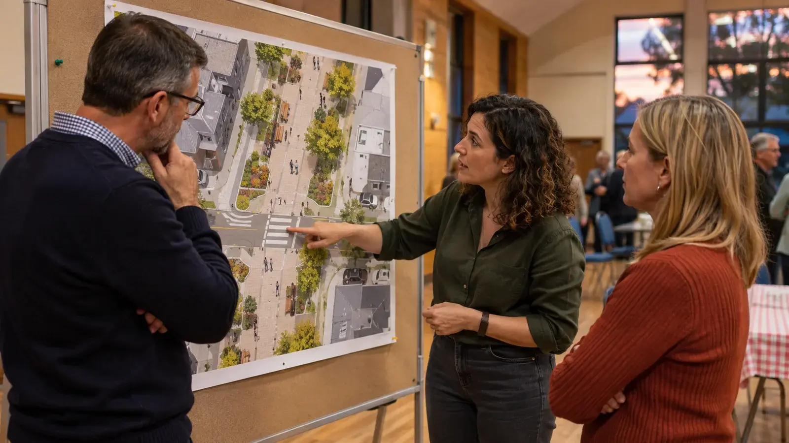
A useful consultation story explains the proposal, alternatives and unresolved questions before directing readers to feedback.
The opening should establish the decision
Imagine a proposed pedestrian crossing near a school. A beautiful map followed by “Tell us what you think” leaves readers guessing: is the crossing location open for discussion, or only its design? Begin by saying what can change and who will decide.
ArcGIS StoryMaps combines maps, narrative and media. The product supplies a way to tell the story; the consultation team still owns the fairness and clarity of the explanation.
A five-panel storyboard
This is a synthetic communication plan, not a completed consultation.
| Panel | Content for the crossing example | Question it should answer |
|---|---|---|
| 1. The decision | Two candidate crossing locations under review | What is being decided? |
| 2. The place | Current entrances, pedestrian approaches and dated observations | What conditions are relevant? |
| 3. The alternatives | Both options shown at comparable scales with the same legend | What actually differs? |
| 4. The uncertainty | Evidence gaps and matters awaiting technical review | What is not settled? |
| 5. The response | A focused feedback question, deadline and explanation of use | How will my input inform the decision? |
A map should support the question beside it. If one option has a warm photograph and another only a red warning symbol, presentation can influence the comparison before the evidence is considered. Use equivalent framing and explain unavoidable differences.
Try the story with someone unfamiliar with the project
Ask a reader to name the decision, distinguish the alternatives and identify one uncertainty. If they can only repeat that the project is “good for the community,” the story has not yet explained the choice.
In our example, the reader assumes a proposed crossing already exists because it shares the same symbol as an existing one. Revise the legend and text, then repeat the question. That is a concrete editorial correction with a clear reason.
Keep access and evidence separate
A shared story does not guarantee that every embedded map or linked response form is accessible to its intended audience. Check access as that audience, including on a phone. Provide useful descriptions for visuals and make essential reasoning available in text. For bilingual publication, compare meaning and decision scope rather than merely translating headings.
Explain who receives feedback, how it will be considered and where the outcome will be reported. Do not imply that a response form is a vote unless that is actually the agreed process. A well-structured story helps people give relevant input; it does not establish that the sample represents the entire community.
For related preparation, read choosing an app around its task. Discuss this workflow with InfoGraph or review relevant GIS training.