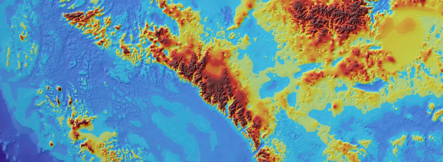
Digital image processing of remote sensed data has a huge potential in studying the land for various applications. With availability of multi-resolution and multi-spectral sensors, the study of urban development, agriculture, environment, geology and other sectors have grown extremely over the years. Image preprocessing involves image radiometric/geometric corrections that enhance the visibility of certain image elements and analyze it to extract information that cannot be detected from visual inspection alone. With our experienced team and the latest technology in remote sensing, accurate and reliable data services are delivered to a multitude of industries and business applications.


