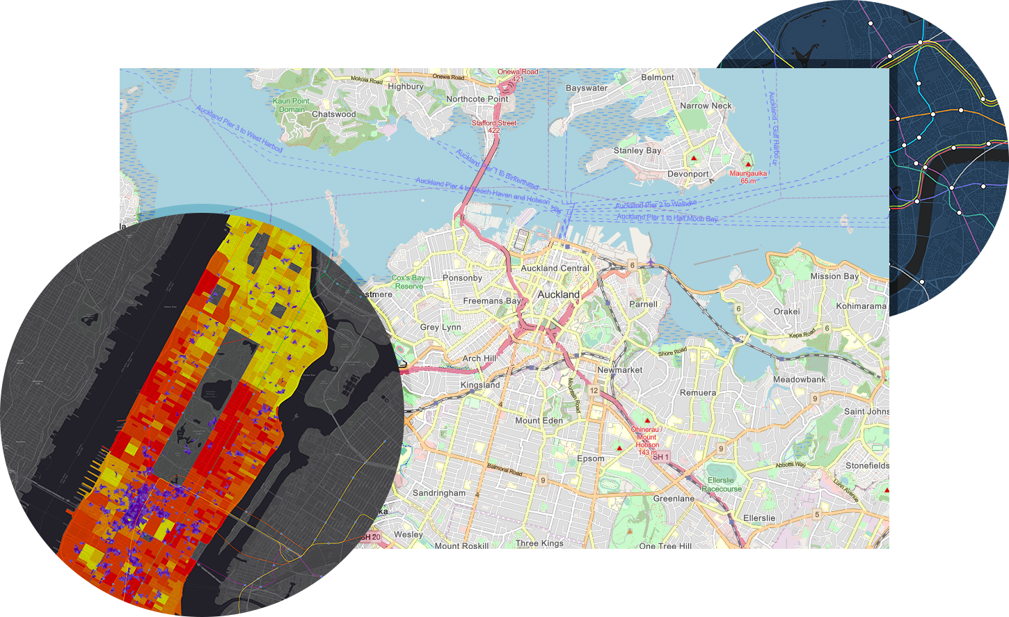
The core of any GIS technology solution is the geo-database. Our data services team has extensive experience in converting existing data to spatial data that meets the defined GIS business goals, using appropriate data conversion, migration and QA tools. We can create and organize Geo-databases and work with users to ingest these database services into “seamless” GIS geo-databases and geo-metadata that can form the back-bone of GIS solutions of any organization.
We have a very strong capabilities, whether it is ingest of maps generated from images, ingest of available paper-data – scanning paper drawings, maps, aerial photos or satellite images.
We are able to handle data from a variety of sensors (WV-1, Geoeye-1, Landsat, SPOT, CARTOSAT-1 & 2, IKONOS, QuickBird) and creation of document archives and vectorising the scanned products, geo-tagging tabular databases of text/tables; documentation solutions etc.
Our Offerings
- Data creation – Aerial and Satellite Mapping to generate base maps, thematic maps, DEM (from stereo satellite data) and generate perspectives of systematic change.
- Data conversion and migration with expertise in handling data in variety of formats (AutoCAD/Microstation/MapInfo/ArcInfo Coverage to Geodatabase)
- Geospatial database management including spatial data modelling, migration and versioning of geo spatial data
- Defining and standardizing GIS data model
- Complete range of photogrammetric services including Ortho photo & DTM creation, 2D/3D feature extraction
- LiDAR & 3D modelling


