

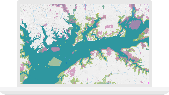
Use smart maps and spatial analysis to better manage the earth’s natural resources. Increase production, optimize workflows, and mitigate risk.
Improve the efficiency of your production.
Whether you are managing the earth’s resources or your field and staff resources, ArcGIS software enables you to streamline workflows and maximize productivity. Spatial insights reveal new patterns and trends to help you make better-informed decisions that will help your organization thrive.
Create a central repository for all spatial data.
Provide a complete platform to enable everyone in the organization to easily find, share, and analyze information.
Access a world of content.
Access the foremost collection of global geographic information including imagery, boundaries, landscape, and demographic data layers.
Streamline daily workflows.
Transform your daily operations; collect data in the field and share real-time information with your colleagues in the office.
Gain competitive insight.
Advanced geospatial analytics allows you to uncover relationships in your data, empowering you to respond proactively rather than reactively.
Empower your organization with GIS.
Improve operational efficiency with mapping and spatial analysis. Use ArcGIS to achieve goals and compliance while mitigating environmental impacts.
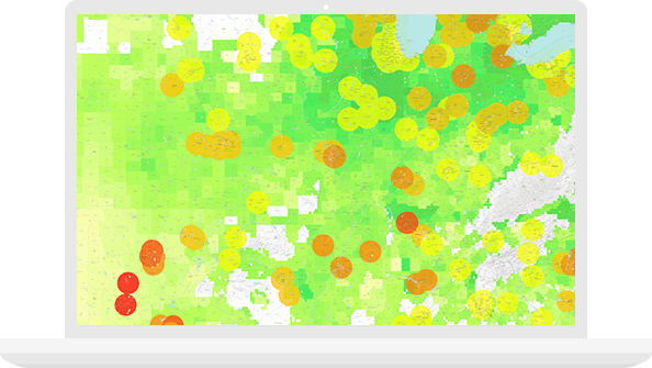
Agriculture
Integrate remote-sensing and real-time data to maximize profits.
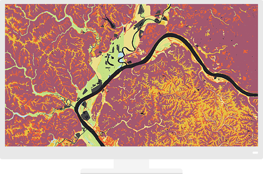
Forestry
Enhance regulatory reports and meet business objectives.
Mining
From exploration to mine remediation, support the project life cycle.
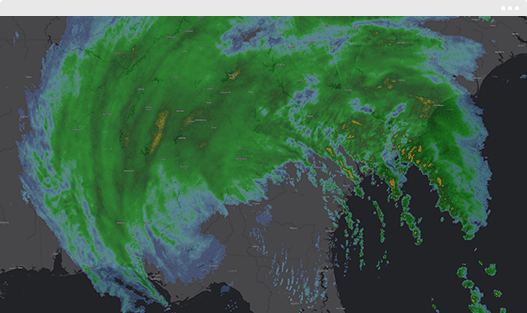
Renewables
Evaluate viability of wind, solar, and geothermal projects.