

Part of the Esri Geospatial Cloud, ArcGIS Online enables you to connect people, locations, and data using interactive maps. Work with smart, data-driven styles and intuitive analysis tools that deliver location intelligence. Share your insights with the world or specific groups.

Designed for your success
Cloud-based
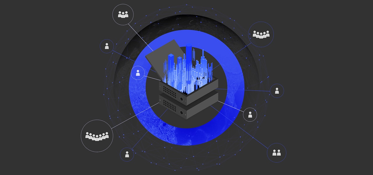
Because it’s software-as-a-service (SaaS), ArcGIS Online can be used anytime, anywhere. Your maps scale so hundreds or even millions of people can interact with them at the same time. Esri takes care of software updates and maintenance so you are free to focus on your work.
Secure & private
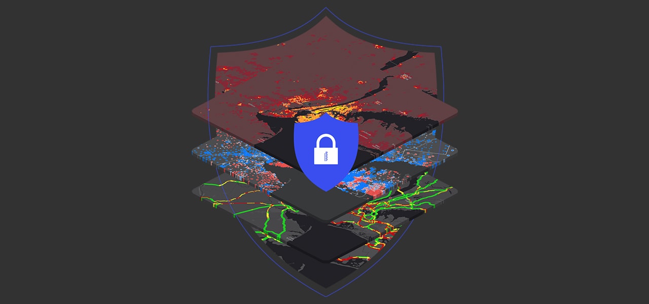
Trusted by even the most regulated industries, ArcGIS Online continually earns security and privacy certifications. It’s resilient, redundant, and built from the ground up with security in mind.
Enterprise ready
ArcGIS Online meets your IT requirements including security, authentication, and privacy. It provides logging and other advanced reports so you can keep up with your organization’s activities. You can also integrate your enterprise authentication system.
Mapping and analysis: location intelligence for everyone
Make maps
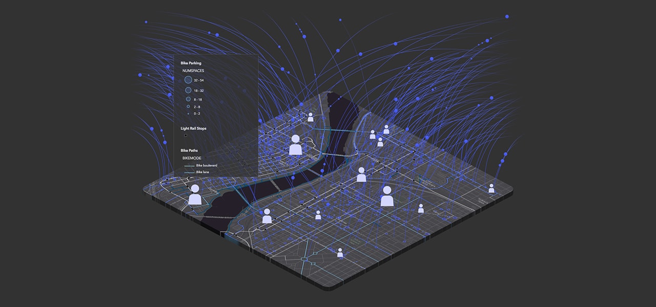
Quickly create maps by dropping in your spreadsheet and mashing it up with other location data included in ArcGIS Online. Apply Smart Mapping styles to make your data visually stunning.
Share & collaborate
Instantly share your maps with anyone, anywhere. Work collaboratively with your colleagues to build maps and apps.
Analyze data
Intuitive analysis tools help you learn more about your data. Add valuable context to your data by combining it with Esri’s demographic and lifestyle data.
Work with Your Data
Bring your data into a powerful system that geoenables, hosts, and scales. Precisely collect, update, and control access to your data.